Climate change concerns are rooted in science.

To address these concerns properly and to continue to produce sound, useable geo–data, Geomarine Systems Limited uses AI enabled LiDAR systems, multibeam echo sounder systems, neural networks and the latest imaging software to acquire top grade imagery of your facilities to support design upgrades, maintenance and certification/re–certification requirements.
We operate with unwavering honesty and accountability, ensuring our actions consistently align with our commitment to build lasting stakeholder confidence.
We invest in our people's growth and potential, creating pathways for professional advancement while nurturing a culture that celebrates innovation and diverse perspectives..
We prioritize environmental stewardship in our business decisions, implementing responsible practices that minimize our ecological footprint and preserve natural resources.
We deliver excellence through meticulous attention to detail, continuously refining our processes to exceed expectations and provide superior value in everything we do.
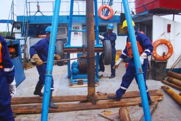

We analyze soil, rock, and underground conditions to ensure safe and stable foundations for construction and infrastructure development both on land and offshore.
Read More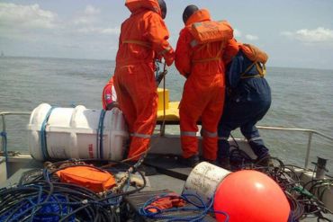

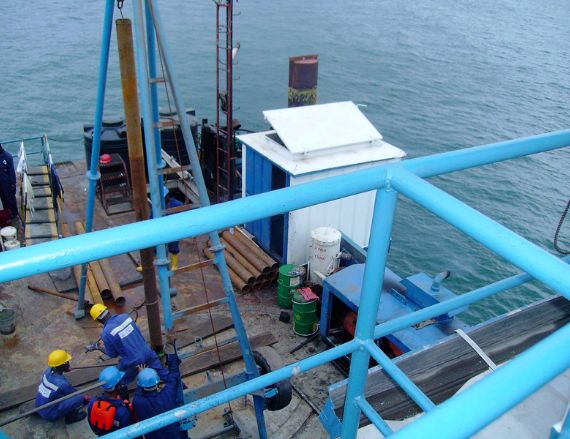
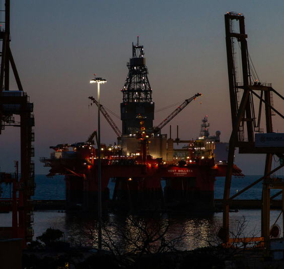
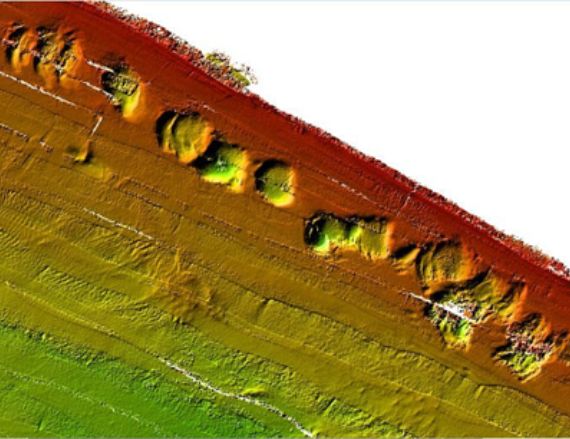
We study the ocean floor using advanced geophysical techniques to map underwater structures, hazards, and seabed conditions. The data acquired is used to design offshore pipelines, platforms and jackets.
Read More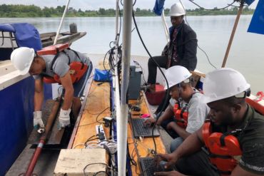

We ensure the accuracy and reliability of seismic data through rigorous quality control and testing, helping you make informed decisions with confidence.
Read More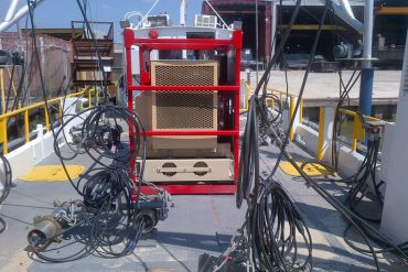

Advances in technology have made it possible to survey hard to reach areas using ROV's and AUV's, with even higher, better, quality than usual. Integrated with AI we achieve higher levels of productivity and customer satisfaction.
Read More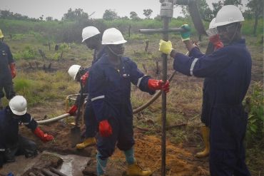

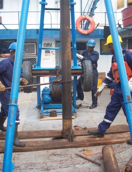
We acquire subsurface data using advanced seismic imaging technologies for oil and gas exploration. GSL also uses shallow seismic data acquisition for foundation studies. These include seismic refraction and multi-channel surface wave analysis.
Read More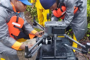

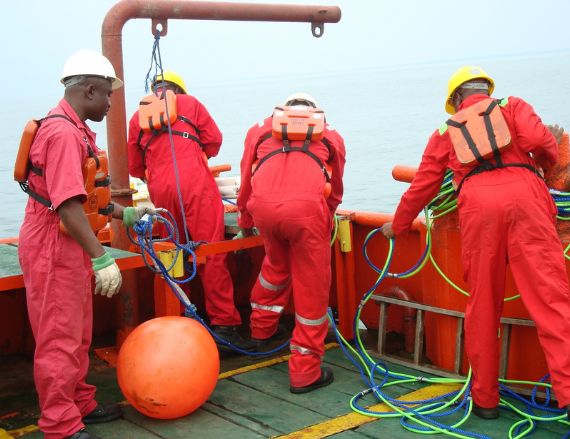
We provide precise surveying, navigation, and positioning solutions to ensure accurate mapping, geospatial data collection, and reliable location tracking for marine and land projects.
Read More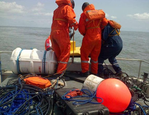


