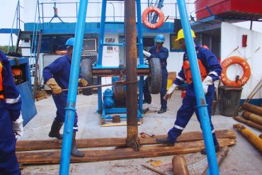

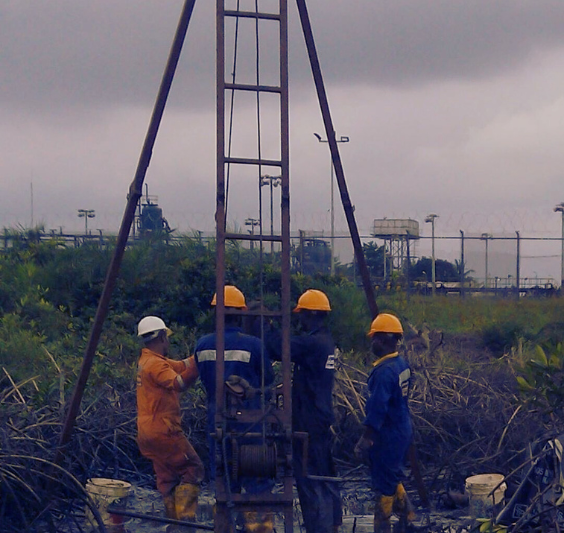
We analyze soil, rock, and underground conditions to ensure safe and stable foundations for construction and infrastructure development both on land and offshore.
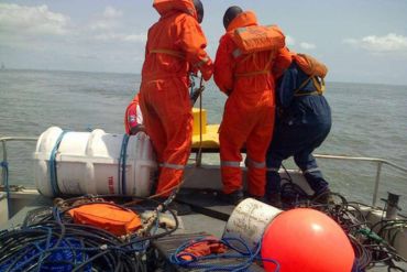

We study the ocean floor using advanced geophysical techniques to map underwater structures, hazards, and seabed conditions. The data acquired is used to design offshore pipelines, platforms and jackets.

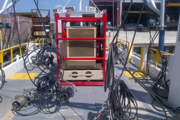
We ensure the accuracy and reliability of seismic data through rigorous quality control and testing, helping you make informed decisions with confidence.

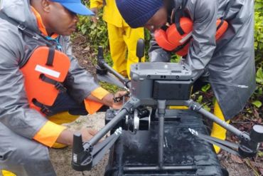
Advances in technology have made it possible to survey hard to reach areas using ROV's and AUV's, with even higher, better, quality than usual. Integrated with AI we achieve higher levels of productivity and customer satisfaction.
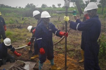

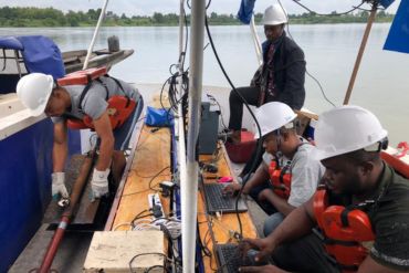
We acquire subsurface data using advanced seismic imaging technologies for oil and gas exploration. GSL also uses shallow seismic data acquisition for foundation studies. These include seismic refraction and multi-channel surface wave analysis.

We provide precise surveying, navigation, and positioning solutions to ensure accurate mapping, geospatial data collection, and reliable location tracking for marine and land projects.
GSL continues to invest in personnel training at all levels. While it is good to have up to date equipment and systems, obtaining the full benefits if these systems depends on the quality of trained available to work the systems.